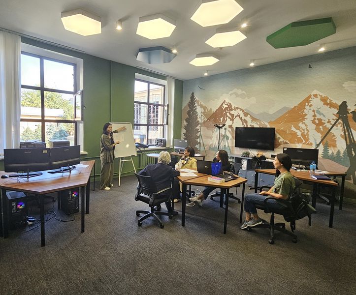
Geomatics Innovation Center
The Geomatics Innovation Center based at Satbayev University serves as a bridge between scientific research and commercial initiatives, providing comprehensive spatial data collection, analysis, processing and management solutions for various industries.
The center's mission:
To create innovative solutions based on scientific research and advanced developments to address current challenges in the field of Geomatics. We strive to expand the frontiers of knowledge and strengthen partnerships in science, industry and the public sector.
Key areas of activity:
1. Implementation of scientific projects ranging from fundamental research to applications and practical application of technologies
2. Monitoring of geodynamic processes
3. Remote sensing, aerial photography and data processing.
4. Research in the field of gravimetry and GNSS-technologies
5. Creation and management of geospatial databases
6. Conducting training courses, master classes, scientific seminars.
The center's services are:
1. Cartographic services, digitization of maps, geological and geophysical reports and creation of geospatial databases.
2. aerial photography with UAVs, construction of orthophotos, DEMs, obtaining accurate and detailed 3D models for analysis and planning of the territory. 3.
3. All kinds of geodetic and cadastral works, topographic surveying, gravimetric works.
4. Airborne laser scanning, processing of results.
5. Integrated monitoring of geodynamic processes, including radar interferometry, GNSS observations, high-precision leveling to track crustal movements, subsidence and other geodynamic phenomena.
6. Engineering and survey works.
7. Geodetic support and control of construction works.
8. Consulting services in geospatial technology, and multidisciplinary industries.
9. Training courses and continuing education programs in GIS and surveying
10. Organization of scientific seminars, conferences and workshops
Projects:
Targeted funding programs on scientific, scientific-technical programs of the Ministry of Science and Higher Education of the Republic of Kazakhstan
1. BR21882179 “Development of predictive and search solutions for geological mapping of ore deposits using ground-space methods” scientific supervisor Orynbassarova E.O.
2. BR21882366 “Development of a geoid model of the Republic of Kazakhstan as the basis of a unified state coordinate system and heights” scientific supervisor Kassymkanova H.-K. M.
Grant funding under scientific, scientific-technical programs of the Ministry of Science and Education of the Republic of Kazakhstan:
IRN AP23489830 “Development of integrated Remote Sensing and machine learning technologies for landslide monitoring and assessment”. scientific supervisor Orynbassarova E.O.
 Center management:
Director of the Innovation Center of Geomatics: Orynbasarova Elmira Orynbasarovna
Education:
Holder of “Bolashak” scholarship, Master's degree in “Engineering Surveying and Geodesy” at Nottingham University (UK, 2012)
PhD thesis defense at Satbayev University (2019).
Research on geodynamic monitoring of the earth surface in the territory of Tengiz field, using RSA data.
Internship at Nottingham University and LTD Geomatic Ventures (UK, 2017).
Research activities:
Author of more than 20 scientific publications including: 6 journal articles in Scopus, 1 article (Q1) in Web of Science Core Collection, 7 articles at international conferences, monograph (Germany). Hirsch index in Web of Knowledge and Scopus is 3.
Head of grant projects:
Targeted funding program “Development of predictive and search solutions for geological mapping of ore deposits using ground-space methods” (2023-2025);
Grant funding “Development of integrated Remote Sensing and machine learning technologies for landslide monitoring and assessment” (2024-2026);
Competition for young scientists “Development of Web-GIS based on complex geodynamic monitoring data for the field of Kazakhmys Corporation LLP” (2021-2023).
Consultant of the Targeted Financing Program “Development of a geoid model of the Republic of Kazakhstan as the basis of a unified state coordinate system and heights” (2023-2025)
Project Manager from Satbayev University International ERASMUS project on “Master Program in Eco-Mining and Innovative Natural Resources Management” (22 partners from different countries).
Expert activity:
Participation as an expert in the Republican Commission
Was a reviewer at the international conference ISPRS (International Society for Photogrammetry and Remote Sensing)
Awards and achievements:
In 2021 became a holder of the state scientific scholarship by order of the Ministry of Education and Science of the Republic of Kazakhstan.
Labor activity:
2020-2024 Satbayev University, Head of the Department of “Surveying and Geodesy”, Associate Professor
2012-2020 International Educational Corporation (IOC) in the following positions: Assistant Professor, Associate Professor, Deputy Dean.
Contact information and social media links:
Elmira Orynbasarova
Phone: +77015287972
Email: e.orynbassarova@satbayev.university
Satbayev University, Satpayev 22, office 263 MMB
LinkedIn